4.8 miles
South Park Pathway - Boyles Hill Road to South End of 3 Creek
Jackson
Fee: $0.00
Access:
Access anywhere along South Park Loop west side, between Blair Drive (north) and the end of the pathway (south) near Rancho Alegre.
Description:
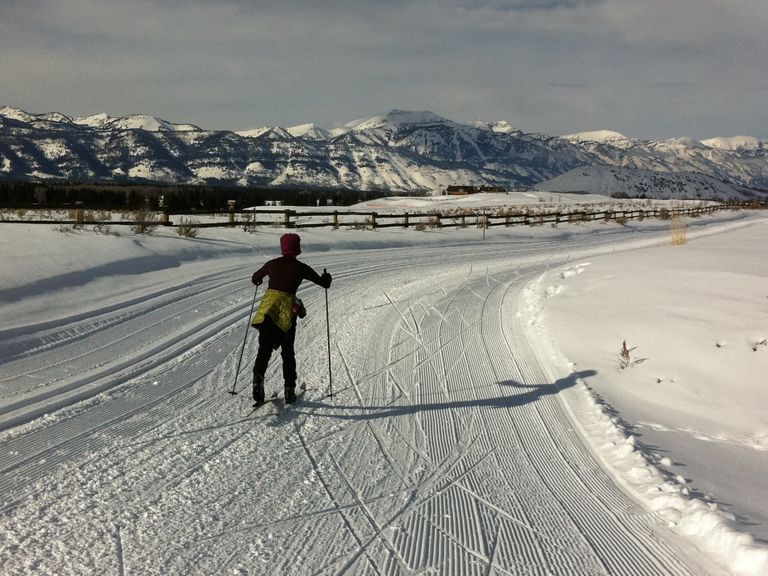
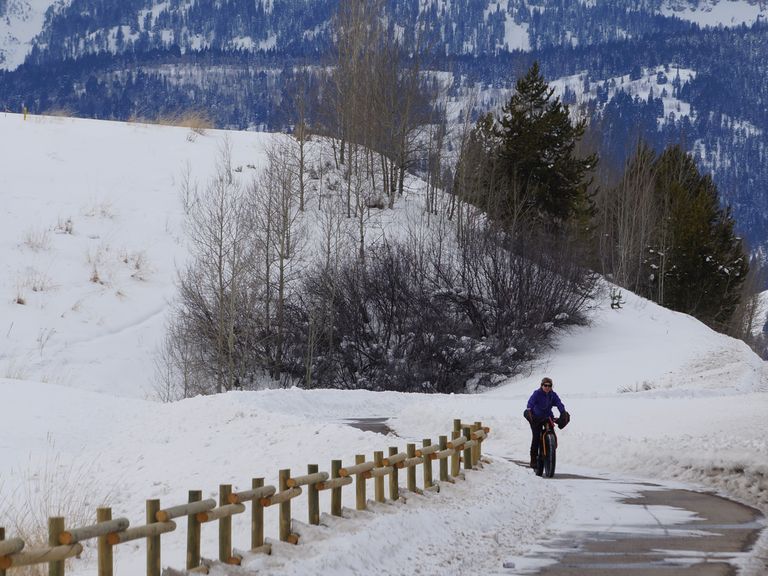
This 4-mile section of trail is plowed for skiers, fat bikers, and walkers during the winter season. The groomed section runs along the pathway parallel (north-south) to the western side of South Park Loop Road, starting from Boyles Hill Road at the north end and extending to the south of 3 Creek, where the path crosses the road. Managed by Teton County/Jackson Parks & Recreation Dept., this trail offers an easy, flat, out-and-back experience. The groomed section may include occasional road crossings that could be plowed or contain gravel, requiring caution.
Skiing Experience: The trail provides a smooth and groomed surface suitable for skiers, fat bikers, and walkers. It is an easy and flat-out-and-back trail.
Winter Grooming: The trail is groomed and plowed by Teton County/Jackson Parks & Recreation Dept. Conditions may include occasional road crossings that could be plowed or contain gravel.
Fat Bikers: The trail is suitable for fat biking during the winter season. Community feedback is encouraged for optimizing the mix of grooming and plowing.
Notes for Dog Owners: Leashed dogs are allowed on this trail.
Directions:
Beginnings: Access anywhere along South Park Loop west side, between Blair Drive (north) and the end of the pathway (south) near Rancho Alegre.
Uphill Stretch: The trail is predominantly flat, offering an easy skiing experience.
Views: Enjoy the winter scenery along the western side of South Park Loop Road.
Extended Exploration:
Southern Section: The trail continues on the east side of South Park Loop further south and then east, plowed to the Melody Ranch Trailhead, suitable for fat bikers, walkers, and runners.
Von Gontard Trail: The plowed pathway system continues south at the intersection of South Hwy 89 and South Park Loop, on the Von Gontard Trail, south to Game Creek Road.
Loop Option: Make a full loop by continuing north from the same intersection back to High School Road, then west to the School pathways.


