10.4 miles
Phillips Canyon to Phillips Pass
Wilson
Fee: $0.00
Access:
From Jackson, take WY Hwy 22 west, past Hwy 390 toward Wilson. Turn right (north) at HHR Road (at Wilson School), left at Main Street, then right onto Fish Creek Road. Follow Fish Creek Rd north for 5 miles.
Description:
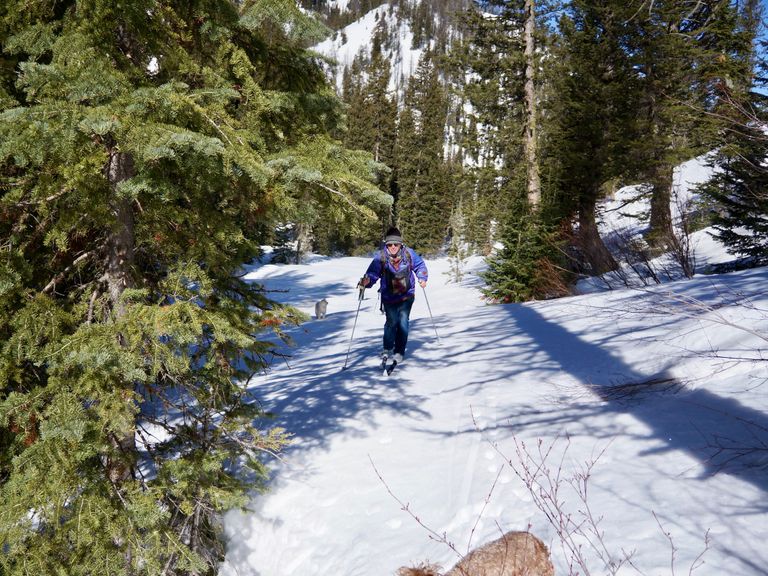
The Phillips Canyon Trail follows the summer hiking/biking trail along the north side of the canyon, heading west/southwest with a few switchbacks to gain altitude, following Philips Creek. This trail provides an advanced backcountry skiing experience, with a progressive, untracked, or skier-tracked climb and descent. For Nordic skiers seeking a remote adventure within easy reach of Wilson and the Westbank, Philips Canyon offers a challenging and rewarding experience.
Parking: Limited parking is available on the right side of Fish Creek Road (4 spaces) at the trailhead, with additional parking on the left side (west) 50 yards further north.
Skiing Experience: The skiing experience on Phillips Canyon to Phillips Pass is advanced, with a challenging climb and descent. Skiers should be experienced in backcountry conditions, and depending on skill level, consider using skins for climbing and descending.
Winter Grooming: The trail offers a backcountry skiing experience, with untracked or skier-tracked conditions. Exercise caution, especially during descents, and consider using skins for climbing and descending.
Nordic Skiers: The trail is suited for advanced Nordic skiers seeking a remote, backcountry experience.
Notes for Dog Owners: Leashed dogs are allowed on this trail. Please be courteous and remember to pick up after your pets.
Summer Hikers: While this trail primarily serves as a winter backcountry route, the summer trails like Arrow Trail and the trail from Teton Pass offer additional exploration options for hikers and bikers.
Directions:
Beginnings: The trail begins on the west side of the road, opposite the parking space, and winds for approximately 500 yards until a narrow log bridge crosses the creek. Afterward, the trail divides - the left follows the Bonneville Power line, while the right begins the Philips Canyon Trail. The powerline trail may have AT ski tracks (wider back-country skis), as it is often used as a practice trail for AT skiers seeking some easy skinning.
Uphill Stretch: The right-hand Canyon trail turns slightly to the left (west) and begins to climb through a forest of mixed aspen, lodgepole pine, and spruce. The trail climbs progressively, and the returning downhill can be steep for inexperienced skiers on skinny skis. Depending on snow conditions, adding skins ("kicker" or full length) to one's setup may help with both climbing and descending.
Through Meadows: After 3/4 mile of climbing, a hidden valley can be seen to the right (north). Continue to follow the main valley/canyon overlooking the main creek bottom. The trail traverses open meadows, and at 3.5 miles, an open basin can be seen as the slope to the left (south) converges in an open shallow bowl. Those familiar with summer trails will recognize this as the junction with the Arrow Trail. Another 400 yards further, the trail from Teton pass merges from the left. From this point on, the trail is in an open meadow, climbing gently for another mile, with the creek gully to the left.
Final Push: At 4.7 miles, near the top of the upper basin, follow the creek gully to the right (north) and make the final climb to Philip's Pass (5.1 miles from the start). Enjoy panoramic views of hidden valleys, open basins, and meadows along the trail.
Extended Exploration: Consider returning via the trail to the Teton Pass Road parking lot, rejoining the Ski Lake trail 3/4 of the way out. Note that this alternative route requires a car shuttle before starting out.
Return: Return via the same route, descending down the canyon back to the Fish Creek Road trailhead.