5.8 miles
North Fork Fall Creek Road
Wilson
Fee: $0.00
Access:
Fall Creek Road, 11 miles south of Wilson, off Red Top Meadows.
Description:
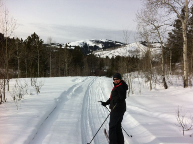
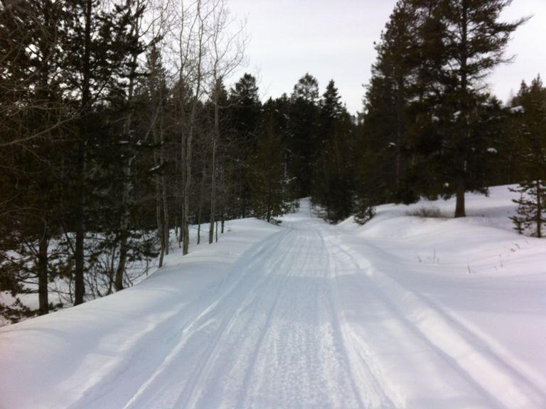
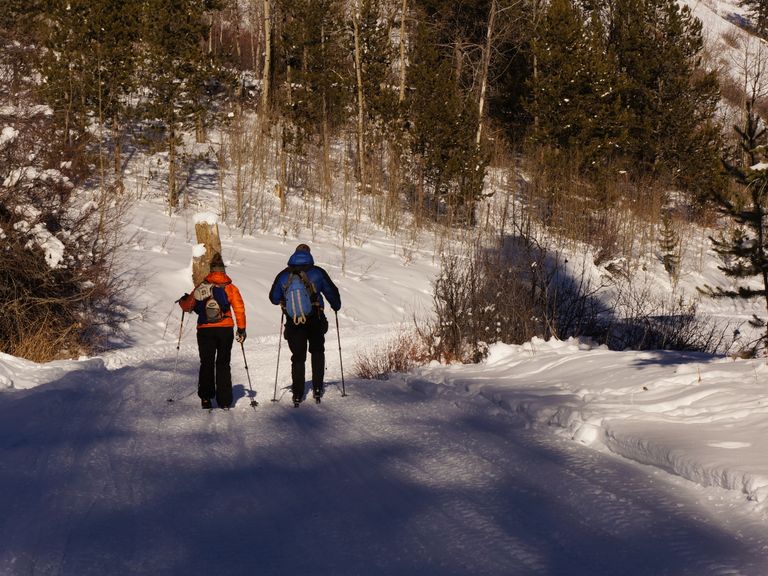
Embark on this cross-country skiing adventure along North Fork Fall Creek Road, a National Forest Service road, approximately 11 miles south of Wilson. This well-marked trail offers classic cross-country skiing into the Palisades Wilderness Study Zone of the Snake River Range. Providing a beautiful, sheltered track into the less-frequented winter wilderness, the trail runs east-west, similar to the Mosquito Creek valley 5 miles north. Most of the trail winds through open forestland, protecting it from the wind. Occasional stretches follow the contour of the creek valley, potentially exposed to a strong westerly wind.
Skiing Experience: Easy skiing along the road with occasional exposure to westerly winds in some sections. Suitable for classic cross-country skiing.
Winter Grooming: The ungroomed skier-tracked trail is a National Forest Service road and may have occasional snowmobile use. Check winter conditions and be prepared for varying terrain.
Nordic Skiers: Perfect for classic cross-country skiing with a well-marked trail.
Fat Bikers: The trail is suitable for fat biking when conditions allow, providing a smooth and scenic ride.
Dog Owners: While the trail is generally dog-friendly, be aware of wildlife and leash regulations.
Summer Conditions: In summer, the trail transforms into a USFS forest road, ideal for gravel biking and mountain biking. It also serves as a delightful hiking route, providing access to several beautiful hikes, such as "Little Taylor Mountain."
Directions:
Access the trailhead approximately ¾ mile west of Red Top Meadows on Fall Creek Road. At 1 ½ miles, the trail forks, marked by a large USFS sign indicating Palisades Wilderness Study Area. The left fork leads southwest to Trails End Ranch (private), while the right (northwest) goes to the North Fork Fall Creek trailhead. Opt for the right fork, meandering through conifer and aspen forests, offering picturesque views of Taylor Mountain and the creek valley west. You can continue west for up to 3 more miles or turn around at any point. The return to the trailhead near Red Top Meadows is slightly shorter and gradually downhill. Wildlife enthusiasts will appreciate the abundance of animal tracks, including moose, coyote, ermine, and others.


