10.9 miles
Mesa Falls ID
Teton Valley
Fee: $7.50
Access:
From Jackson, take WY Hwy 22 over Teton Pass, onto ID Hwy 33 north through Victor and Driggs. After Tetonia, turn right onto Hwy 32 north to Ashton. From Ashton, take the Mesa Falls Scenic Byway (Hwy 47), continue to the end of the plowed road (12 miles from Ashton). Total distance from Jackson: 85.7 miles.
Description:
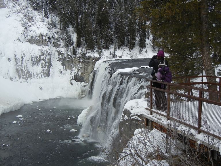
Mesa Falls, although a bit distant from Jackson, is a unique and remote area situated in the Caribou-Targhee National Forest, northwest of the Tetons. The trail options here include two loops and a longer "Upper Falls Spur" that follows the river and canyon rim. It offers impressive overlooks and a close-up view of Mesa Falls.
The area is home to wildlife such as bald eagles, ravens, osprey, moose, ermine, and porcupine. These majestic creatures are occasionally seen along the trails. The trails also provide excellent views of the Henrys Fork Canyon, as well as Upper and Lower Mesa Falls. These falls are the only major undisturbed waterfalls in the Columbia River system, maintaining a natural and pristine look. The Upper and Lower Mesa Falls, standing at 110 feet and 65 feet, respectively, offer equally spectacular views within a beautiful forest setting (Source: Idaho Parks & Recreation).
Winter Grooming: An Idaho $7.50 Winter Park N’ Ski 3-Day Temporary Permit is required for each vehicle and can be purchased online and printed or purchased in Island Park or Harriman State Park. Annual passes and Idaho state resident passes are also available. For grooming reports, call the Ashton Ranger Station at (208) 652-7442.
A Note for Snowshoers: For snowshoeing, it's allowed off-trail but not on groomed trails.
Dogs: Dogs are not allowed on this trail.
Summer Conditions: The area boasts numerous picturesque summer hikes that are well worth exploring, including this trail.
Directions:
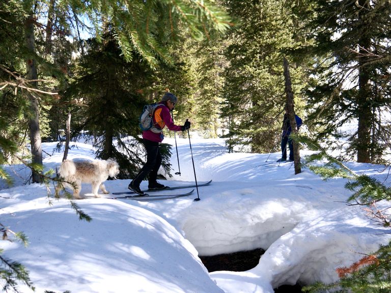
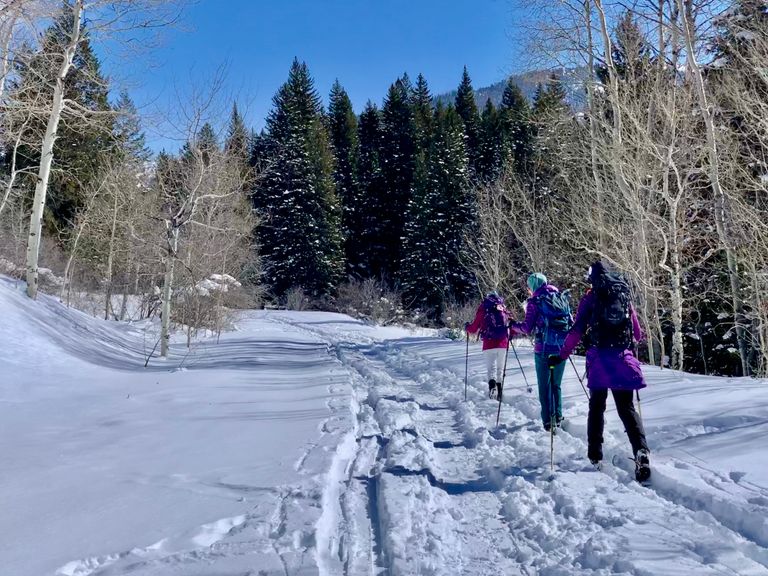
Beginnings: Start by skiing up the snowmobile packed road for 0.4 miles to the trailhead, which is on the left side of the road and marked with the standard NFS trail marker and blue diamond directional marker on a tree. The blue trail markers tacked to trees continue along the trail, making navigation easy. The trail itself is a ski-packed trail, mostly flat, with a few small hills.
Views: The trail follows the rim of the canyon and is distant from the main road and snowmobile traffic for 3.3 miles. At this point, you reconnect with the road system at the Lower Mesa Falls Overlook, which features an outhouse. The ski trail parallels alongside the road (snowmobile trail) for the next 0.3 miles, then breaks away from the road toward the rim of the canyon for the next 0.4 miles.
Mesa Falls: The trail then reconnects with the access road that leads down to Mesa Falls. It offers a nice downhill run on the snowmobile groomed road to the facilities at Mesa Falls. However, please be cautious when using the stairs leading down to the falls overlook, as they can be very icy and hazardous.
Return: The return journey can be via the same route, but it's also possible to ski on the snowmobile trail to cut off some distance and make it somewhat of a loop. Outhouses are available in the main parking area back at the start.


