5.8 miles
Moose Creek
Teton Valley
Fee: $0.00
Access:
Off Hwy ID 33 (continuation of Hwy WY 22), 14 miles west of Wilson WY, 3 miles SE of Victor ID. Find the Ranch by heading northeast on Old Jackson Hwy, two miles west of the WY/ID border on Hwy 22. Turn east (right), park along the side of the summer access road in front of Moose Creek Ranch, ID.
Description:
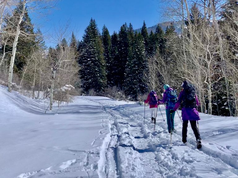
Skiing up Moose Creek offers a rewarding experience, whether for a short or extended journey. The gradually ascending drainage is a picturesque winter wonderland. The trail heads east, tracing Moose Creek's path, and goes behind Taylor Mountain, reaching deep into the Tetons' main ridgeline. Weekends see high usage with skiers, snowshoers, and many dogs.
Summer Hikers: Moose Creek serves as a beloved summer hiking trail, offering an out-and-back option as described in the winter trail guide. Alternatively, it connects with the Teton Crest Trail at its eastern end, leading south over Mesquite Pass and into Coal Creek.
Dog Owners: Leashed dogs are allowed on this trail. Please be courteous and remember to pick up after your pets.
Directions:
This is an "out-and-back" trail, with a gentle elevation gain (440 ft. in the first 3 miles) as you venture further up the canyon. Start by skiing east on the summer gravel access road. Cross Moose Creek on a car bridge about half a mile in. The WY/ID state line is crossed just before the bridge (sign might be missing). The trail continues south of the creek until a footbridge crossing at mile 3. Further ahead, reach the summer trailhead parking lot with maps. Continue east on a more intimate, tree-covered trail.Trail Options: Around ¾ mile from the winter parking, a trail option leads left (east) to Plummer Canyon, eventually connecting to the Plummer Yurt. Continuing another ¼ mile, you'll encounter a makeshift winter bridge, a ladder supported by logs and filled with branches and snow, for crossing Moose Creek.
Extended Exploration: At the ¾ mile marker, take the right trail (southeast). Between miles 1 and 3, navigate three side creek crossings that flow into Moose Creek. In snowier years, snow bridges form; in lighter snow years, step over the side creeks. These creeks flow year-round. After 3 miles, the trail divides at the edge of "Moose Meadows," a large open space. The left trail continues up Moose Creek, while the right trail heads southeast behind Taylor Mountain, linking with Coal Creek-Mesquite Creek trail.


