27.9 miles
Grey's River Road
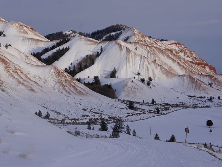
Gros Ventre & Wyoming Ranges
Fee: $0.00
Access:
Head south from Jackson on Hwy 89 South to Hoback Junction, then southwest to Alpine. Turn left (south) onto Hwy 89 S. After 0.6 miles, turn left onto Grey's River Road. Drive southeast for approximately 1 mile to a large parking area. The trail begins on the east side at the cattle guard.
Description:
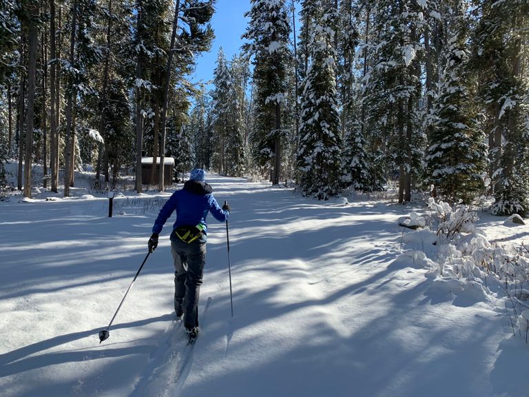
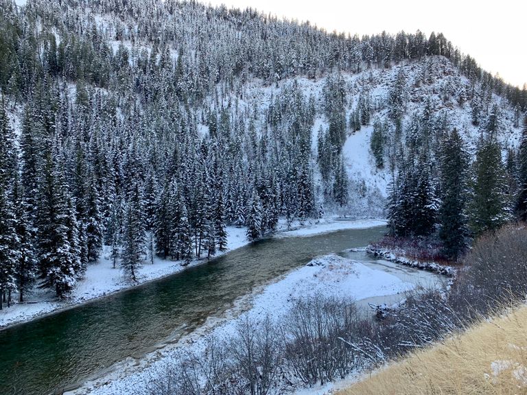
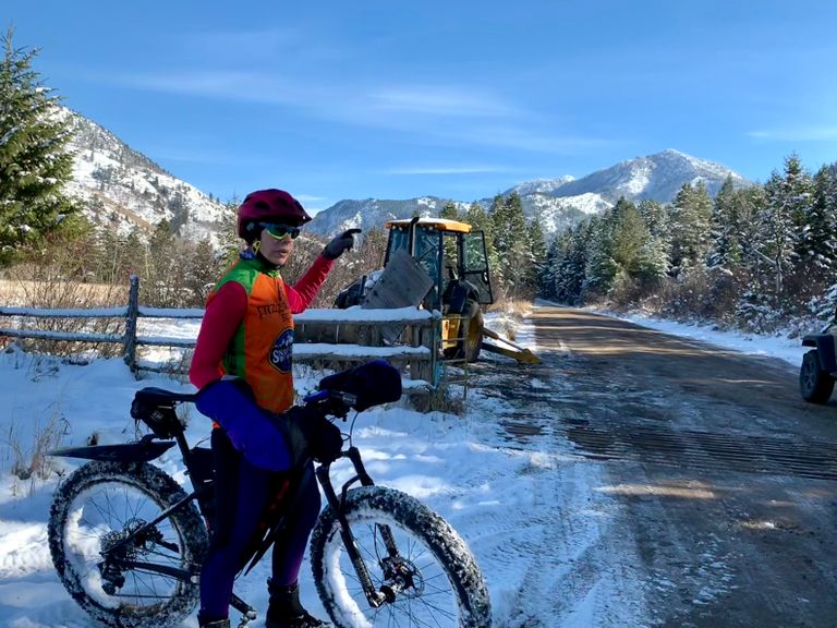
Grey's River Road is a USFS service road winding through a forested river valley between the Salt and Wyoming Ranges. Groomed for snowmobiles in winter, it offers a scenic, relatively flat to rolling trail suitable for fat biking and classic cross-country skiing. Midweek, the trail sees fewer snowmobiles, providing a quieter experience. The trail, an "out-and-back" route, allows for customizable distances.
Parking: Park in the large parking area at the trailhead.
Skiing Experience: The trail offers an easy to moderate skiing experience, suitable for beginners and experienced skiers alike.
Fat Bikers: Fat biking is permitted on the groomed trail during winter months. A single track for fat bikes begins on the left side of the cattle guard, recommended by local riders.
Winter Conditions: The trail is snowmobile groomed providing a packed surface for skiing and fat biking. Be prepared for changing snow conditions, with occasional snowmobile traffic.
Summer Conditions: In summer, the trail can be dusty with vehicular traffic, but is still suitable for biking, walking, and exploring side trails. Explore nearby hiking trails and picnic areas.
Dog Owners: Dogs are welcome but must be kept on a leash.
Directions:
Start east with the river on your left, the trail gradually climbs after 4 miles, with an alternative snowmobile trail branching off to the right. At 6.2 miles, cross the cattle guard and continue following the river, crossing a bridge. The trail alternates between shaded and sunny sections as it winds through the canyon. At 7.4 miles, reach an intersection with a spur road leading to Little Grey's River. Cross the bridge over the confluence and continue south/southeast along Grey's River. Picnic tables and rest areas are available at various points along the trail. The Murphy Creek campground at 13.25 miles offers a suitable turnaround point, with options for longer excursions for more adventurous skiers and bikers. Enjoy views of the river, mountain ridges, and occasional wildlife. Retrace your path to the trailhead.