17.0 miles
CD Trail - Togwotee
Togwotee Pass
Fee: $0.00
Access:
From Jackson Town Square, drive north on Hwy 89/191 to Moran Junction, then turn right onto Hwy 287/26. Continue east to the Hachett Ranch Lodge. Turn right (south) at the USFS Hatchet Campground sign. Park in the parking area west of the USFS trailhead sign. The BlackRock USFS Ranger Station is approximately 200 yards east.
Description:
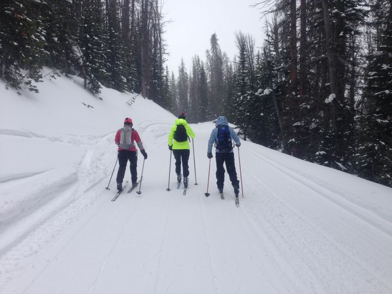
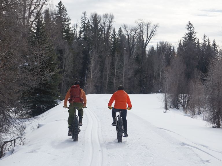
The CD Trail, part of the Continental Divide network on Togwotee Pass, traverses Bridger-Teton US Forest land. Groomed periodically by full-size snowcats, the trail is marked by small orange diamonds and letter codes (such as CD, CDA, V, X, R, etc.). Suitable for fat biking and classic cross-country skiing, the wide, smooth trail offers a forest service road experience. The trail is less busy than others near Togwotee Pass Summit, making it popular among outdoor enthusiasts.
Parking: Park in the designated parking area west of the USFS trailhead sign.
Skiing Experience: The CD Trail provides a moderate skiing experience, suitable for beginners and intermediate skiers. It's also popular among fat bikers due to its reasonable grade and less snowmobile traffic compared to other nearby trails.
Winter Grooming: The trail is groomed periodically, offering a smooth surface for skiing and fat biking. Check with the Togwotee Mountain Lodge Rental Shop (307-543-0424) for the latest grooming schedule.
Nordic Skiers: Enjoy a forest service road experience suitable for classic cross-country skiing.
Fat Bikers: The trail is suitable for fat biking, offering a wide and smooth surface. Consider joining a guided fat bike tour with Teton Mountain Bike Tours.
Dog Owners: Leashed dogs are allowed on this trail. Please be courteous and remember to pick up after your pets.
Directions:
Beginnings: Start at the USFS Info Board, heading southwest then west, gradually climbing through groves of aspens.
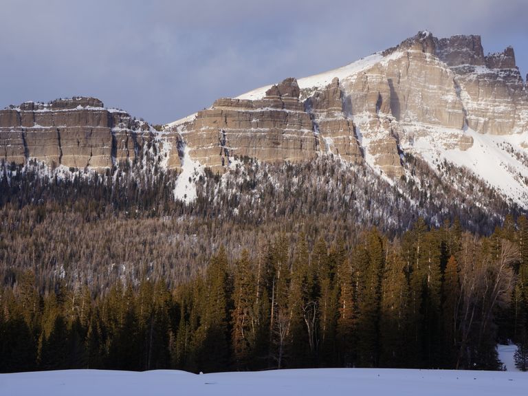
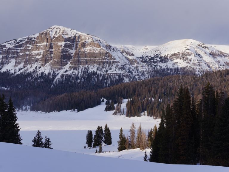
Uphill Stretch: At 2.5 miles, the trail levels out with wide views of the Teton Range and Mt. Moran over the Buffalo Fork Valley. The trail then heads slightly downhill, running along a low ridge and a gulley framed by a conifer forest.
Views: At 4.4 miles, enjoy splendid views of the Tetons, Mt. Leidy, Brescia Peak, and the southern Absaroka Mountains. The trail continues downhill for 1 mile, leading to an intersection with the CDA trail at 8.5 miles.
Extended Exploration: Explore the CD and CDA trails, but return via the same CD trail to the trailhead.