6.7 miles
Rosie's Ridge
Togwotee Pass
Fee: $0.00 - donations appreciated
Access:
Drive north on N Hwy 89 from Jackson to Moran, and continue northeast on Hwy 287/26. Pass BlackRock US Forest Ranger station. After 8 miles of climbing, turn left onto Turpin Meadow "summer" road (Four Mile Road) Parking area allows for 20+ vehicles. Trailhead on the north side of the parking area.
Description:
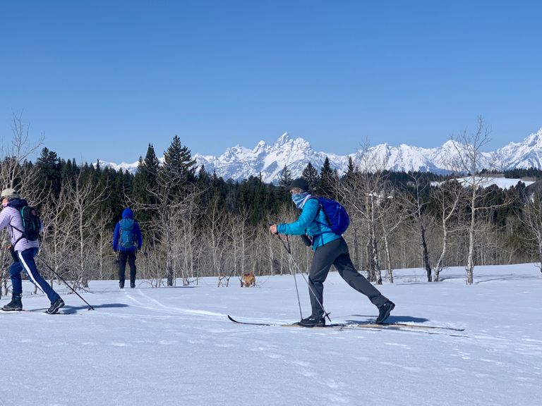
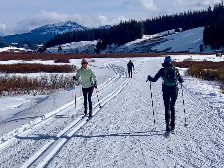
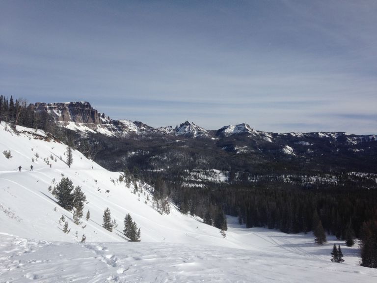
Rosie's Ridge is an intermediate trail set in the Bridger-Teton National Forest, just off Togwotee Pass Road, situated at 7800 feet. The trail follows a forest service dirt road, running on a rolling ridge, west for approximately 4 miles one way/8 miles roundtrip, with gentle descents and climbs. Adjacent to the trail are several open knolls, with striking views of the Tetons range to the west.
Skiing Experience: This trail offers an intermediate skiing experience with gentle descents and climbs, suitable for skiers with some experience.
Winter Grooming/Winter Conditions: Rosie's often has early and late-season snow, making it a local favorite place to start or end the season.
Fat Bikers: Can access Four Mile Road to Turpin Meadow Ranch.
Dog Owners: Dogs must be on leashes to protect wildlife.
Summer Conditions: During summer, the trail offers access to beautiful views and is suitable for hiking.
Summer Hikers: Trail conditions are suitable for hiking during summer.
Remember to donate to Friends of Bridger Teton at btfriends.org, to help maintain and manage these incredible trails.
Directions:
Beginnings: The trail begins on the north side of the parking area. Head north then immediately start to circle left (south) around a small knoll, climbing a gentle hill on your left for approximately 100 yards.
Uphill Stretch: On the right side at the top of the knoll, look for tall orange poles, indicating a snowmobile trail. The summer service road becomes visible as you head a further 100 yards west, at which point there is a brown metal gate and sign for Critical Wildlife Habitat.
Views: Ski to the top of the first knoll for wide views of the Tetons.
Trail Options - Extended Exploration: There are 4 hilltop "summits" which you can ski to for continuing views west to the Tetons.
Return: The trail is an "out-and-back" so you can make the trip as short or long as you like. Highly recommend skiing the first 1.5 miles to reach the first viewpoint.