4.6 miles
Phelps Lake - from South Granite Canyon Trailhead
Grand Teton National Park
Fee: $0.00
Access:
via Moose-Wilson Road, in GTNP, 3 miles north of Teton Village. Park in the Granite Canyon Trailhead parking area or at the end of the plowed road. Please park responsibly as space is limited.
Description:
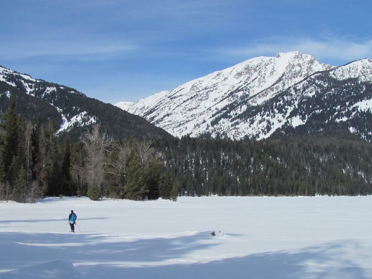
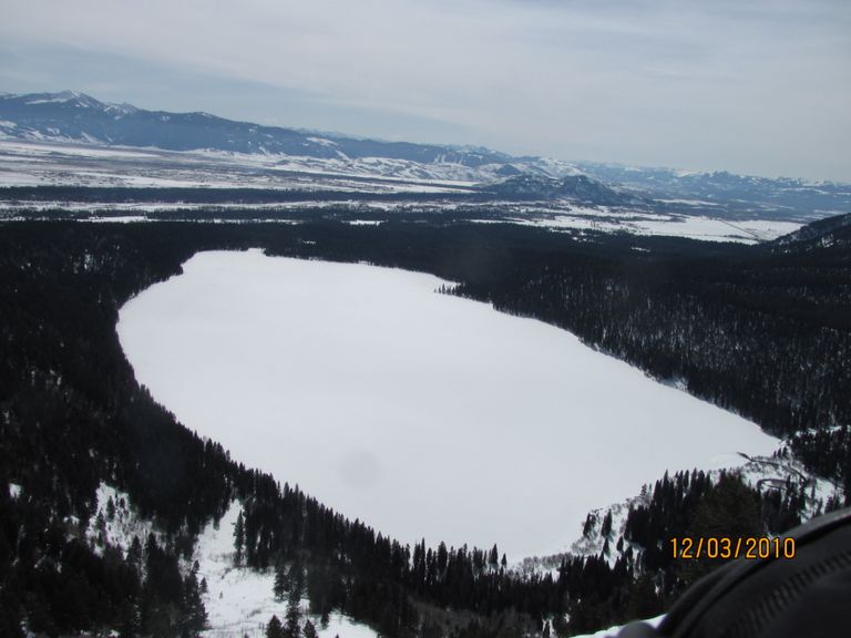
While this trail is still best for intermediate skiers, it offers an easier alternative to the Phelps Lake trail from the North Death Canyon Trailhead. This skier-tracked trail has an 88-meter elevation gain and provides serene winter views of the beloved Phelps Lake.
Parking:The trailhead is at the Granite Canyon parking lot. Be mindful of limited space and ensure to park responsibly.
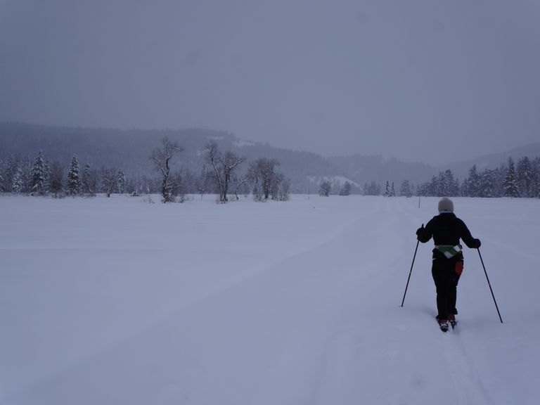
Skiing Experience: This trail is suitable for intermediate Nordic skiers. The trail features gentle climbs and is generally well-tracked by other skiers.
Winter Conditions: The trail is skier-tracked and not machine-groomed. Snow conditions can vary, so be prepared for ungroomed sections.
Summer Conditions: The 2 most popular summer hikes up to Phelps Lake begin at the LSR Preserve cabin and follow the Woodlands Trail or the Lake Creek Trail to Phelps Lake. One can return via the same trail or choose the other. Other variations include hiking around Phelps Lake, up into Death Canyon, or doing a loop on the Valley Trail.
Dog Owners: Dogs are not allowed on this trail as it is inside Grand Teton National Park.
Directions:
Beginnings: From the Granite Canyon Trailhead parking lot, head north for 1 mile along the snow-covered unplowed Moose-Wilson road, winding gently through aspen and pine forests. At 1.1 miles, you’ll see an open log buck and rail fence on the right (east), the start of a side trail going east to the Snake River dike.
Uphill Stretch: 30 yards further north on the main road, on the opposite side (left or west), is an opening through a buck and rail wood fence, the easiest ski trail up to Phelps Lake. This trail follows the former JY Ranch road, now a Park service road in summer. The trail is less tracked than the road trail but usually has a good ski track set by skiers and snowshoers on the side. It heads west with a gentle climb, gradually turning northwest, crossing meadows and stands of trees. After ½ mile, the trail turns northward. After another 1/8 mile, the trail splits. Take the left (west) trail, which will bring you more directly over the moraine to the rest/view point overlooking Phelps Lake. The left-hand trail has several short uphill climbs that can easily be done as a short herringbone up the slope. Once on top, the trail levels out.
Views: 80 yards further north, the views open up at the Phelps Lake overlook. Wooden benches and boulders offer a nice spot for a picnic. Once the lake is well frozen, one can ski out onto the lake – be sure to check with GTNP about current conditions, and stay away from the southeast end, where Phelps Lake drains into Lake Creek with running water all year round.
Extended Exploration:
Huckleberry Point extension: ¾ mile further west-northwest around the lake edge.
Full circumnavigation of Phelps Lake: Moderate to difficult, due to narrow stretches of trail on the west side – 8 miles in total. Return to the road via the Woodland summer trail, then right on the Moose-Wilson road to rejoin the original road section of the trail.
Return from Phelps Lake Lookout via the Lake Creek Trail: Leave the lookout and initially head southeast, passing the restrooms on your left, then follow the Lake Creek summer trail. Lake Creek will be on your left (north) as you ski out through open forest and meadow. There are a few short areas of steep uphill and downhill, where you may need to take skis off to avoid a fast downhill run and crash. The trail is 1 mile from the lake to the snow-covered Moose-Wilson road. Take your skis off just before the road, as the last 5 yards onto the road are steep (rock steps). Turn right (south) at the road and ski ½ mile back to the turn and buck rail fence trails.
Return: via the same path for the easiest descent or use the variations mentioned above.


