4.4 miles
Patterson Creek Canyon - Big Holes
Teton Valley
Fee: $0.00
Access:
From Victor, ID, take Hwy 33 north, then turn west on Cedrun Road. Continue west, then north (right) at the end. Follow the road north for 1.5 miles to 6750 South. Turn left (west) onto the gravel road and continue for 1 mile until the road ends.
Description:
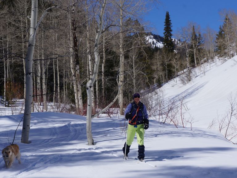
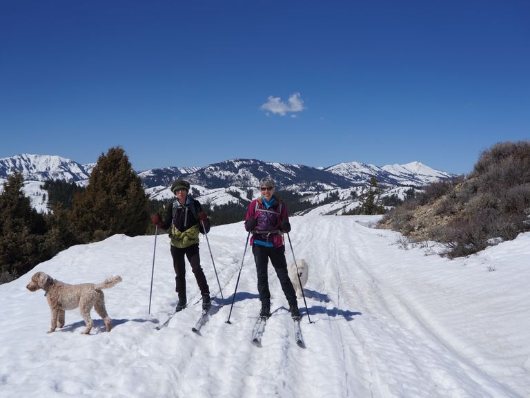
Patterson Creek Canyon is one of five easily accessible canyons from Jackson Hole and Teton Valley on the east side of the Big Hole Mountains (west side of Teton Valley, ID). Coming from Victor, Patterson Creek Canyon is the southernmost drainage that offers a reasonable cross-country ski trail (skier-tracked trail).
Parking: Limited along the road side.
Notes for Dog Owners: Leashed dogs are allowed on this trail. Please be courteous and remember to pick up after your pets.
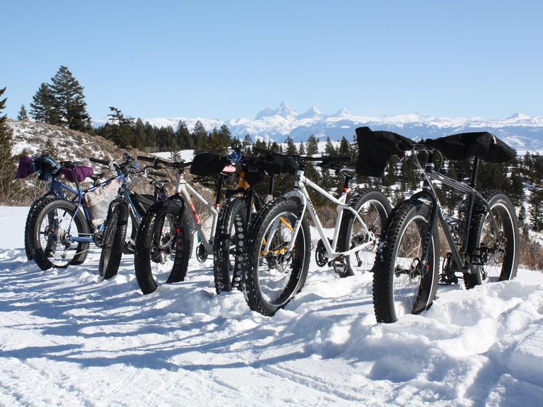
Summer Conditions: In the summer, this trail is suitable for a casual hike, gravel bike, or mountain bike ride, especially when single track trails are wet.
Directions:
Beginnings: The trail begins at the end of 6750 South off Cedrun Road/4500 West. The west end of the road is a dead-end, with limited parking and three homes tucked into the base of the canyon. Look for the skier tracked trail that starts on the south side of the road end, the trail heads south for 100 yards, then bends west, passing a small gray house on the south hillside.
Continue Onward: Follow Patterson Creek through the woods, heading west. A snowmobile track is usually visible to follow. The trail continues west, past a Targhee National Forest sign, and goes through willows, aspens, and conifers up the canyon valley floor. The trail is relatively flat the entire way up the drainage, with occasional creek crossings where snow may not fully cover the creek.
Extended Exploration: At 1.4 miles, the trail reaches a T intersection. The trail to the north (right) goes out and up to "Low Pass," connecting Patterson Creek canyon with Henderson Creek canyon to the north.
Return: The upper stretches of the canyon become too steep and narrow for skinny skis, so return via the same route.