5.5 miles
Mosquito Creek
Wilson
Fee: $0.00
Access:
Falls Creek Road, 4 miles south of Wilson
Description:
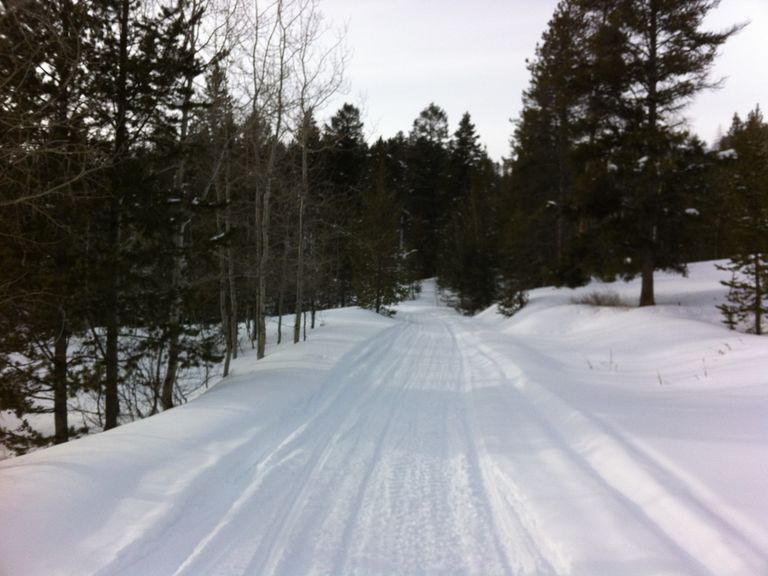
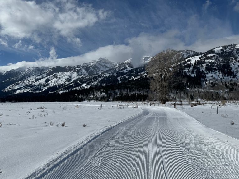
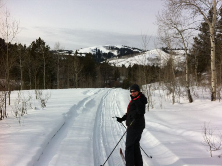
Embark on a scenic cross-country skiing adventure along Mosquito Creek, a National Forest Service road located 4 miles south of Wilson. This well-marked trail provides classic cross-country skiing into the Palisades Wilderness Study Zone of the Snake River Range. Similar to the North Fork Fall Creek valley 5 miles south, Mosquito Creek offers a beautiful, sheltered track into the wilderness. While occasionally used by snowmobiles, especially on weekends, the trail sees less traffic midweek. Snowmobiles are mainly used by sportsmen and AT skiers accessing remote peaks. The trail winds through open forestland and meadows, following the contour of the creek valley, providing a relatively open and sun-exposed experience. Be mindful of occasional westerly winds.
Skiing Experience: Enjoy easy skiing along the trail, almost like a groomed trail. The trail offers a comfortable and progressively rising stretch, maintaining a regular pace. The return to the trailhead is at least 1/3 faster and gradually downhill.
Winter Grooming: The trail is a National Forest Service road, occasionally used by snowmobiles. Check winter conditions, and be prepared for varying terrain.
Dog Owners: The trail is generally dog-friendly, but be cautious of wildlife, and follow leash regulations.
Nordic Skiers: Perfect for classic cross-country skiing with a well-marked trail.
Fat Bikers: The trail is suitable for fat biking when conditions allow, providing a smooth and scenic ride.
Summer Hikers: In summer, the trail transforms into a USFS service road, ideal for a fun, easy gravel bike or mountain bike ride into the Snake River Range. It is also suitable for a hike, especially during fall to witness the beautiful golden aspen leaves. Bring bear spray and exercise caution.
Directions:
Access the trailhead from Falls Creek Road, 4 miles south of Wilson. The trail begins on the snow-covered road 200 yards off Fall Creek Road at an elevation of 6080 ft. The trail heads west/southwest for 3 miles, then skirts the edge of an open vast burned-out forest, now a meadow, heading west/northwest with a gradual and comfortable rise. At mile 8, the trail, deep into the Snake River Range, turns southwest, narrowing due to infrequent use—a good point to consider turning around. Retrace your route to return to the trailhead, enjoying a faster and gradually downhill return.


