3.0 miles
Alpine WY XC Ski Association Trail
Gros Ventre & Wyoming Ranges
Fee: $0.00 - donations appreciated
Access:
From Jackson Town Square, drive south on Hwy 89/191, past Hoback Junction to the town of Alpine (total 37 miles) towards the Rugby field and the Alpine Airport.
Description:
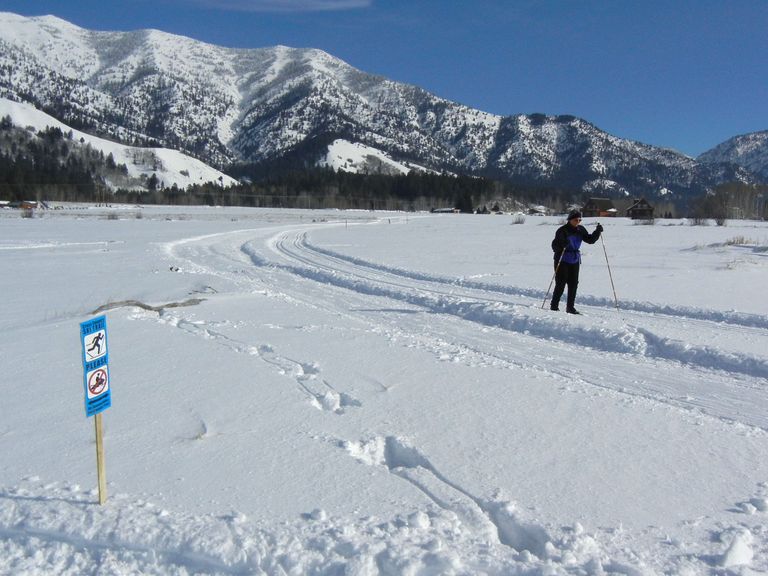
Alpine is a small town on the Snake River bend, just before the river turns north and enters Idaho and the Palisades Reservoir. The valley is flat and offers some nice Nordic skiing with views of the southern Snake River range. The Alpine XC Ski Association has begun grooming both a classic and skate ski track when snow permits. From the parking lot, the start of the trail is fairly obvious. There are signs along the trail requesting that snowmobiles respect the groomed tracks.
Parking: Trailhead parking is available west of the Airport (north of Alpine) off County Road 100, adjacent to the Rugby field.
Skiing Experience: The trail offers an easy level of difficulty with flat terrain, suitable for all skill levels.
Winter Grooming: Grooming occurs on Wednesdays and Saturdays. Check the Alpine Cross Country Ski Association's Facebook page for grooming updates. Trail conditions can vary due to wind and sun exposure.
Nordic Skiers: Nordic skiing is the primary activity on this trail; be mindful of other skiers and respect the groomed tracks.
Dog Owners: Dogs are allowed on the trail; please adhere to leash requirements and clean up after your pet.
Contact Information: Alpine XC Ski Association manager, Sue Haun, has been posting trail conditions on their Facebook page. For conditions, contact Sue at 307-883-5640 or sue@alpinexcski.org. Website coming soon: www.alpinexcski.org.
Additional Notes: This trail is classified in Region 5 – Wyoming Range-Gros Ventres based on its proximity to the ski trailheads of the southern area beyond Jackson Hole proper. It is on the west bank of the Snake River but not accessible from the other Westbank trails (Wilson area) due to the winter closure of Fall Creek Road.
Directions:
Beginnings: Access the trailhead parking lot off County Road 100 west of the Airport, near the Rugby field.
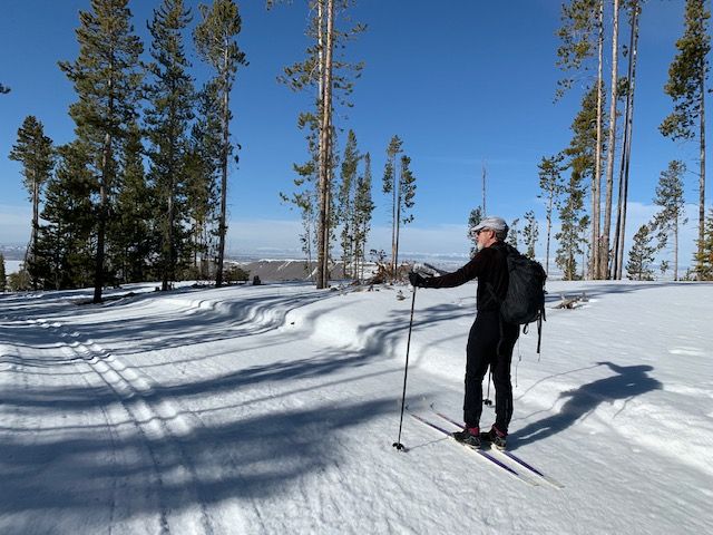
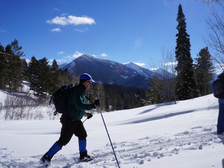
Views: Enjoy scenic views of the southern Snake River range.
Trail Options: The Alpine XC Trail area now has 3 groomed ski trails - Yellow, Purple, and Orange, ranging from 2.41 km to 4.87 km in length.
Return: Loop back to the trailhead parking area after completing the desired trails.


