4.6 miles
Blacktail Butte - South
Grand Teton National Park
Fee: $0.00
Access:
From Jackson, drive north on WY Hwy 89 for 6.8 miles to the Gros Ventre Road junction. Turn right (the first exit off the roundabout) and drive 4.5 miles. Park in the pull-off/summer road entrance for the Gros Ventre campground.
Description:
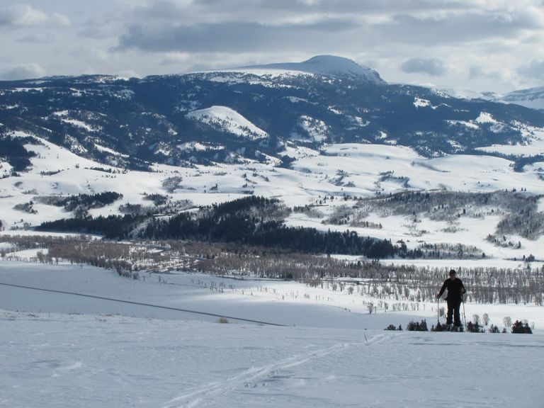
This trail offers a challenging ascent up Blacktail Butte, providing stunning views of the southern Jackson Valley, the Gros Ventre Range to the east, and Grand Teton National Park to the west. The trail features open slopes, switchbacks, and forested ridges, making it suitable for intermediate to advanced skiers.
Parking: Park at the pull-off/summer road entrance for the Gros Ventre campground. Ensure to park responsibly as space may be limited.
Skiing Experience: The trail is best for intermediate to advanced skiers due to its steep sections, switchbacks, and variable snow conditions. Wider BC cross-country skis and kicker skins are recommended for extra grip on the steeper sections. Removing skis may be necessary for safety.
Winter Conditions: The trail is not machine-groomed. Snow conditions can vary, so be prepared for ungroomed sections and potential sun or wind crusts on the south-facing slope.
Summer Conditions: The trail offers a scenic hike in the summer, with similar views of the southern Jackson Valley and western Gros Ventres Range.
Note for Dog Owners: Dogs are not allowed on this trail within Grand Teton National Park.
Wildlife Encounters: This area is frequented by moose during winter, so give them plenty of room to avoid causing them any distress. It's also a seasonal habitat for elk, and there have even been sightings of wolves on Blacktail Butte.
Directions:
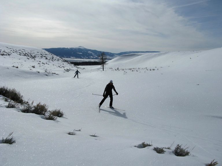
Beginnings: Cross Gros Ventre Road and ski north across snow-covered sagebrush meadows for ½ mile, aiming for the broad open drainage heading north-northwest from the valley floor.
Uphill Stretch: As you climb up the drainage, you may need to navigate switchbacks due to the steep terrain. Continue climbing the open slope to where the tree line closes off the top of the gully, then veer left (west) up the ridge.
Ridge Climb: Follow the ridge, employing a series of climbing switchbacks, until the terrain flattens out enough to ski straight up toward the west. Since ski tracks are rare, keep the natural summit as your guiding point. Ascend through the open ridge, and as you encounter conifer forests, make your way through their passages in a westerly direction.
Views: Ski upward for approximately 1 mile. Just before reaching the final summit, the ridge curves southward (left) before leveling out. The views to the south, encompassing the southern Jackson Valley and western Gros Ventres Range, are vast. Unfortunately, the Tetons to the west are obstructed by trees. If catching sight of the Tetons is important to you, ski south for another 500 yards or so until you reach a point where the trees clear. This is the ideal spot for a summer-like lunch.
Descent: Retrace your steps along the same trail for the descent. Depending on snow conditions, the descent can be quite fast and challenging. If the snow is stable and soft, after the initial half-mile descent from the summit, you can opt to ski down the south faces or further to the skier's right, where southeast-facing slopes await. These slopes lead you through a series of glades and progressively gentler inclines, providing easier grades for Nordic skiers.
Return: Once you've returned to the base of the butte where your journey began, glide the final flat half-mile to reach the parking area.
Enjoy your cross-country skiing adventure!


