15.7 miles
Tetonia-Ashton Rail Trail -from Felt to Bitch Creek
Teton Valley
Fee: $0.00
Access:
Start from Jackson, drive west on Hwy 22 over Teton Pass to Victor. Head north through Driggs, Tetonia, and then north on Hwy 32 to Felt. Look for the Tetonia-Ashton Rail Trail sign on a side road east of the highway. Parking is available on both sides near the gravel trail.
Description:
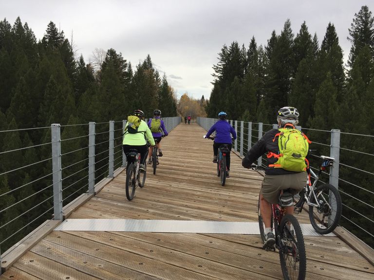
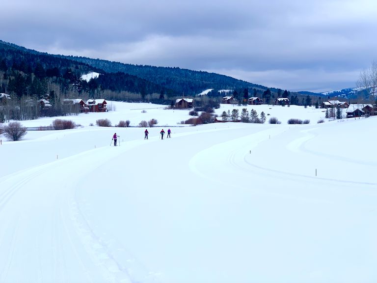
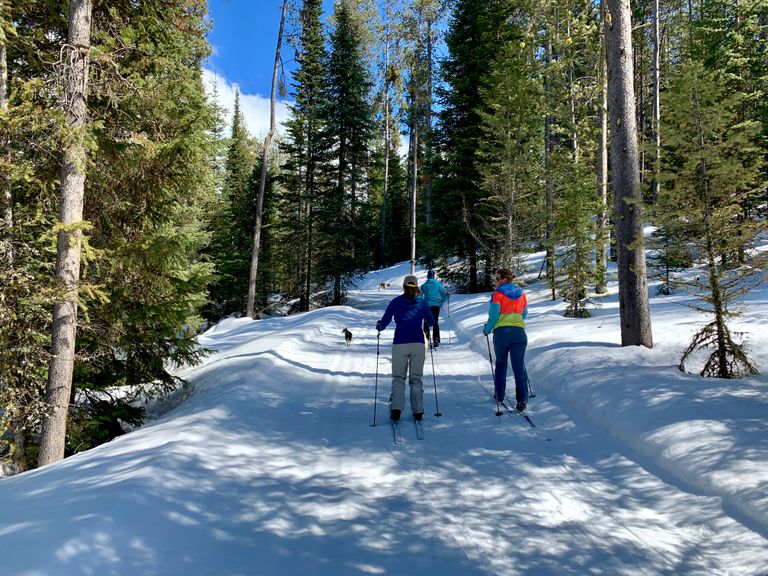
Summer's gravel becomes a snow-covered path in winter, perfect for cross-country skiers and fat bikers. The trail is a 2 track wide gravel trail, which heads north from the Felt trail entry point, with infrequent road crossings, open meadows, planted fields, and cottonwood-lined gullies.
Overview: The Ashton-to-Tetonia Rail Trail follows a historic railroad line, transitioning from a summer gravel trail to a snow-covered trail come winter. This rails-to-trails route preserves history and offers diverse outdoor experiences. Gravel or mountain bike it in summer and fall. Cross country ski it in winter. This stretch of the rail trail is 15.6 miles roundtrip. The full Tetonia to Ashton trail is a 46-mile one-way route, which can be done in stages.
Directions: Pass through grain meadows, a historic wooden grain silo, and Judkins (4.1 miles in, with restrooms). Reach the trestle bridge spanning Bitch Creek. Enjoy views of the Tetons' western slopes. The trail turns back north, reaching a roadbed point near Lamont. The most captivating stretch is from Felt (5 miles north of Tetonia) to the trestle bridge over Bitch Creek. Park at Felt, Judkins, Lamont, or selected road crossings en route to Ashton.
Return: Revisit your path or shuttle a vehicle for a seamless return.
Winter Recreators: Check snow coverage due to sun and wind exposure, especially at road crossings.
Experience the ever-changing Ashton-to-Tetonia Rail Trail, a historic route adorned with natural beauty across the seasons!