5.7 miles
Mahogany Creek ID -Big Hole Mtns
Teton Valley
Fee: $0.00
Access:
From Jackson Hole, head west over Teton Pass on WY Hwy 22, which becomes ID Hwy 33 to Victor ID. Continue north 1 mile to Cedron road. Turn left (Fitzgerald’s Bicycles) on Cedrun, follow this west then north to Mahogany Creek Rd. (W. 3000 S). Turn left (west), drive 1 mile.
Description:
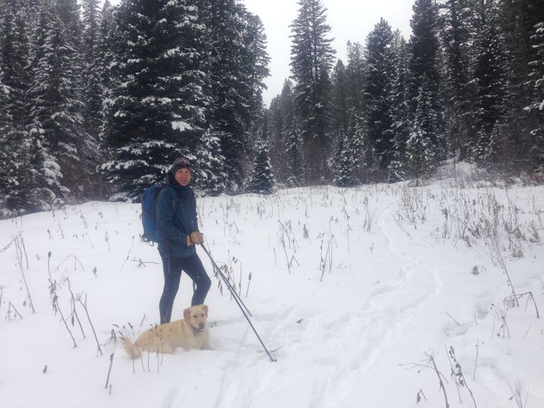
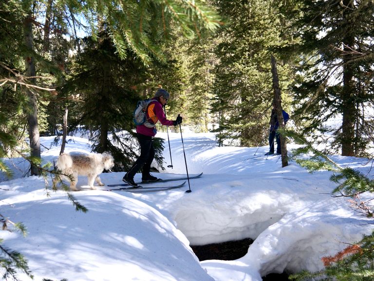
Mahogany Creek, located in the Big Holes Mountains, offers a 5.7-mile ski track that follows the creek itself. The trail is typically untracked, with occasional skier-made tracks. It begins at the end of a snow-covered forest service road at an elevation of 6340 ft. The trail is narrow with a few steep climbs, making it an intermediate-level adventure. Dogs are welcome in this National Forest area, but it's essential to be respectful of wildlife. After skiing about 2 ¾ miles outbound, you'll reach a dense grove of conifers. Beyond this point, the terrain opens up at approximately 6750 ft elevation. Mahogany Creek offers a quiet and narrow valley, not suitable for snowmobiles, making it a peaceful retreat in the forest.
Parking: Park on the road-side.
Skiing Experience: Intermediate - Some uphill climbs and narrow downhill sections.
Directions:
Beginnings: The trail begins at the end of the snow-covered forest service road at 6340 ft in elevation.
Uphill Stretch: The trail has short 100-200 yard steeper climbs.
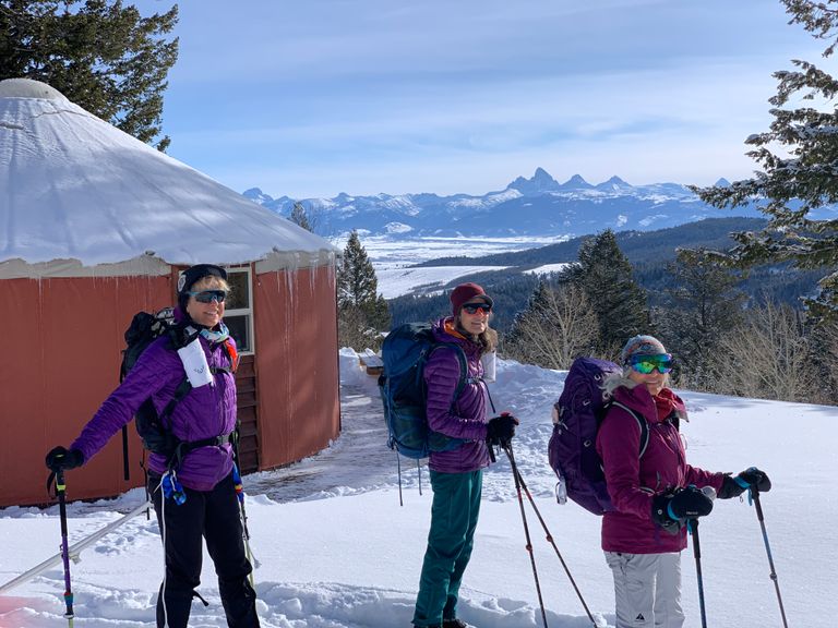
Views: Enjoy views of the quiet valley and the surrounding forest.
Extended Exploration: If you want to explore deeper into the Big Holes, you can circumvent the above mentioned conifer stand by ascending the north hillside (south-facing) for about 100 yards.
Return: Return via the same trail.
Winter Grooming: The trail may not always be groomed, and conditions vary, so be prepared for untracked or lightly tracked sections. Check JH Nordic for the latest grooming updates in the Jackson Hole area.
Summer Conditions: In summer, the trail is a USFS dirt road, ideal for an easy gravel or mountain bike ride. It's also accessible on foot for a walk.
A Note for Dog Owners: Dogs are allowed but should be respectful of wildlife in this National Forest area.