5.7 miles
Coal Creek
Teton Valley
Fee: $0.00
Access:
From Jackson, head west on WY Hwy 22 over Teton Pass to reach the Coal Creek Trailhead parking area. It's located 2 miles west of the Pass summit on the right (north) side of the highway. If coming from Victor, drive east toward Teton Pass on ID Hwy 31, continuing past the Wyoming state border. As the road starts to ascend, Coal Creek will be on the left.
Description:
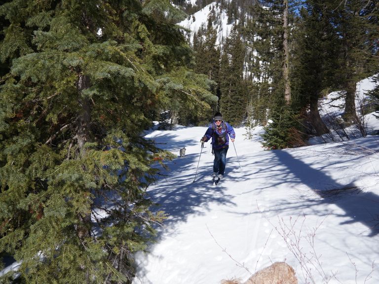
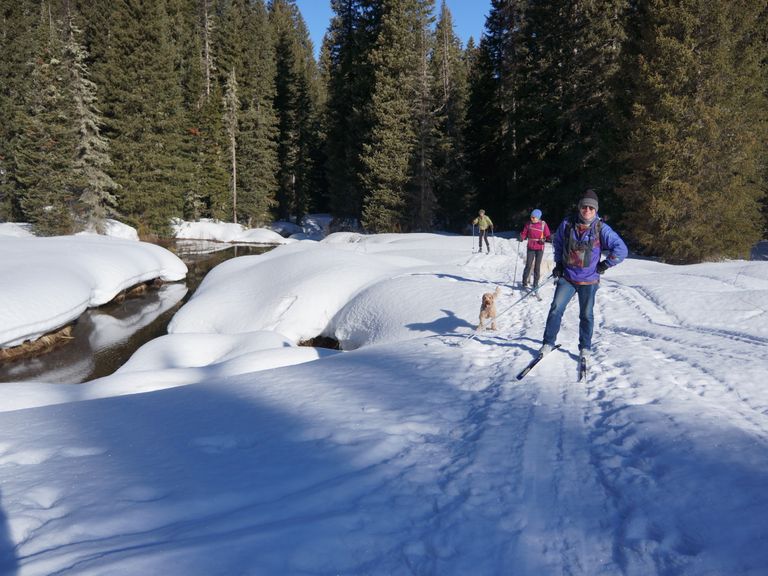
Coal Creek offers a moderately challenging ski route in a picturesque creek drainage area, nestled at the base of Taylor Mountain and Mt Glory on the west side of the Tetons. During the summer, this trail is well-known for hiking, and in the winter, it becomes a popular destination for backcountry downhill (AT) skiers either descending from Mt Glory or venturing towards Taylor Mountain. Skiers should exercise caution, especially for faster downhill skiers, and remain aware of potential avalanche exposure in the upper sections of the trail.
Skiing Experience: This trail provides a moderately challenging skiing experience. It serves as an "out-and-back" route for those skiing on skinny skis. Expect to navigate through a creek drainage, ascend through aspen and conifer trees, and some continuous climbing, take in scenic views of the wide, open slopes of Taylor Mountain to the west.
Directions:
Beginnings: The trail commences at the parking lot/trailhead for the Coal Creek hiking trail, located on the north side of WY Hwy 22. Begin by heading north into a wooded, gladed area, which frequently features ski tracks. Cross the creek, and as you do, prepare for a moderate but sustained uphill climb, following the left (west) slope above the creek. Nordic “kicker” skins might be useful based on the steeper grade.
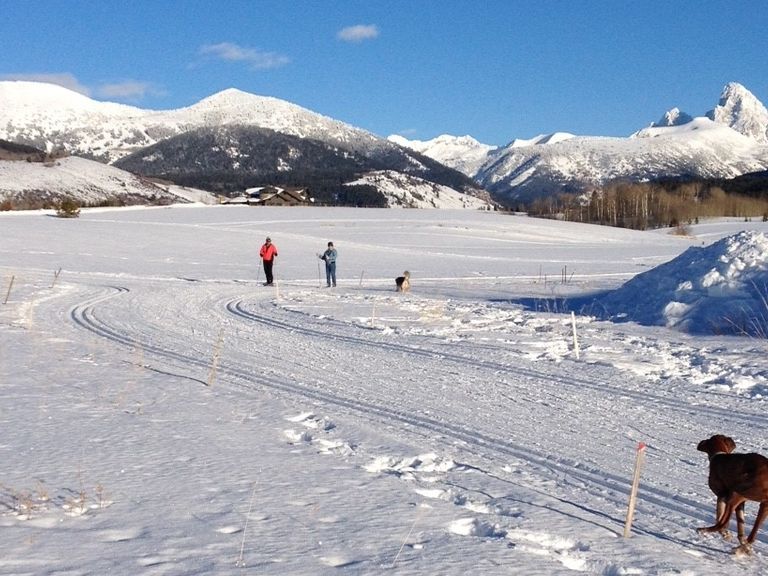
Views: After the first ¾ mile climbing through the forest, the drainage opens up to beautiful views of the vast, 3000-foot vertical open slopes of the southeast face of Taylor Mountain.
Extended Exploration: For more adventurous skiers with the stamina for an extended journey, an option exists to continue climbing north past Mesquite Pass. By connecting with Philips Pass and returning to Ski Lake via Philips Ridge Trailhead, you can embark on a longer adventure. However, it's essential to note that this level of skiing typically exceeds the scope of most Nordic skiers on skinny skis.
Return: For the return journey, retrace your path along the same route, heading back to the Coal Creek Trailhead. While skiing downhill, exercise caution to avoid accumulating too much speed. Some skiers opt to use skins, either full-length or "kicker" skins, to help control their downhill speed. The trail is typically completed as an "out-and-back" on skinny skis.